

Trail ViewSee the whole creek on the map, start to end: mile markers, the elevation profile, and every access point and stop in order.
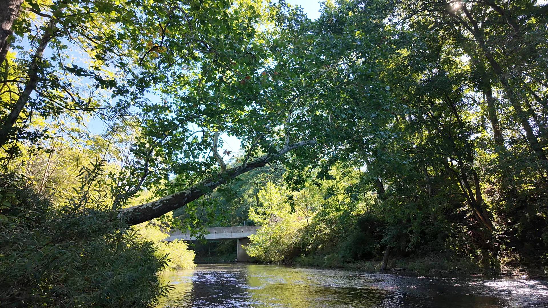
Bald Eagle Creek from its headwaters above Port Matilda through Julian and Milesburg to the inlet of Sayers Lake. Line from the Pennsylvania Fish & Boat Commission's section layer (Fisheries_AllSections, water 2199, sections 1–6).
Questions about Bald Eagle Creek
Ask a question about Bald Eagle Creek
Add a photo
Get notified when someone answers: free in the Wander app