Parks · answer
Best places to view fall colors in Julian, PA
The Allegheny Front turns first and the valley floor follows. Four stops, in the order the color arrives.
AJ Brau · Updated Sep 23, 2026


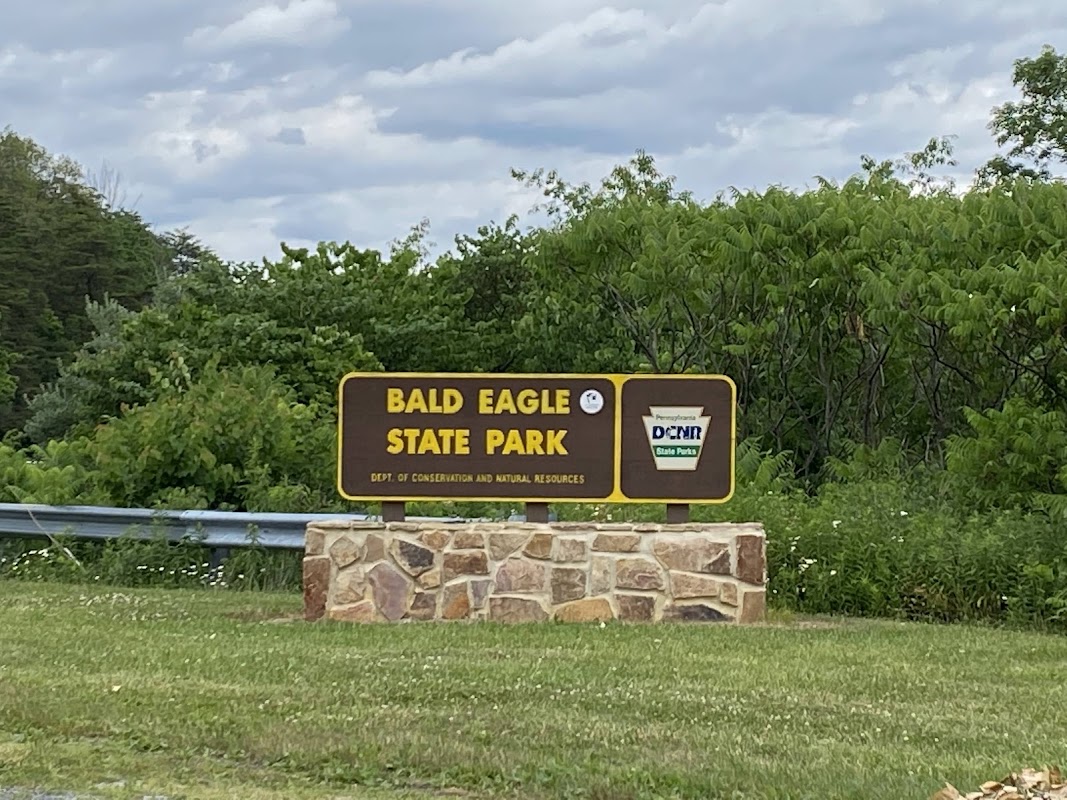
Black Moshannon’s bog and tea-colored lake on the plateau to the west; Bald Eagle’s big lake, beach and Nature Inn to the north.
The Allegheny Front turns first and the valley floor follows. Four stops, in the order the color arrives.
Floodplain wetland on Bald Eagle Creek just downstream of Julian, between Old 220 and the creek — waterfowl, herons, spring peepers. Viewing is from the road shoulder along Old 220. There is no designated parking, trail or public-access signage here, so stay on the road and do not enter the parcel without permission.
Rock outcrop on the Allegheny Front Trail in Moshannon State Forest, looking out over the Bald Eagle Valley toward Julian and State College. The best fall-color view near Julian, Pennsylvania; the Front colors earlier than the valley below. Park at the Underwood Road pull-off and walk 0.6 miles; Ralph's Pretty Good View is 0.2 miles farther (about 1.4 miles round trip). Public state-forest land; hunting is allowed in season.
About 12 miles and 20 minutes on PA 504, the old Rattlesnake Pike, climbing from Unionville on the Bald Eagle Valley floor up the Allegheny Front through Moshannon State Forest to Black Moshannon State Park. The quickest way to see fall color change with elevation; Underwood Road, for Ralph's vistas, branches off along the way.
Second Allegheny Front Trail outcrop, 0.2 miles past Ralph's Majestic Vista in Moshannon State Forest, with another view over the Bald Eagle Valley near Julian, Pennsylvania. About 1.4 miles round trip from the Underwood Road pull-off. Public state-forest land; hunting is allowed in season.
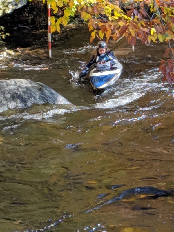
Kayak and canoe put-in on Spring Creek just above its confluence with Bald Eagle Creek at Milesburg.
5,900-acre park on the 1,730-acre Foster Joseph Sayers Lake at the foot of Bald Eagle Mountain. Two campgrounds, beach, boat launches, and the LEED Gold Nature Inn. Best birding in the valley.
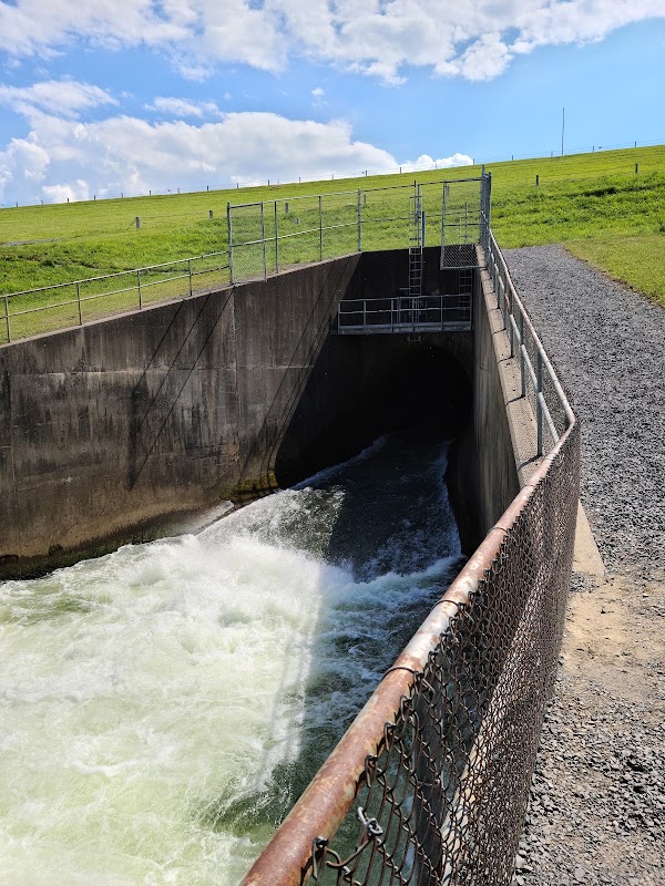
Army Corps flood-control dam that impounds Bald Eagle Creek into Sayers Lake. Overlook and tailwater access below the dam.
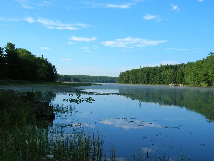
Bog, boardwalk, and a 250-acre tea-colored lake on the Allegheny Plateau, 15 minutes west of Julian. Carnivorous pitcher plants on the Bog Trail, flat-water kayaking, rustic cabins, and dark skies.
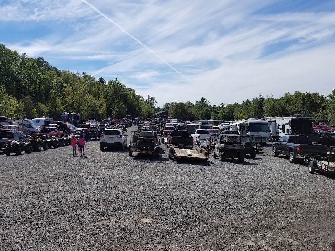
Main trailhead for the Snow Shoe Rails to Trails system — ATV, UTV, dirt bike, snowmobile, and hiking on former rail and logging grades above the Bald Eagle Valley. Permit required (SSRT).
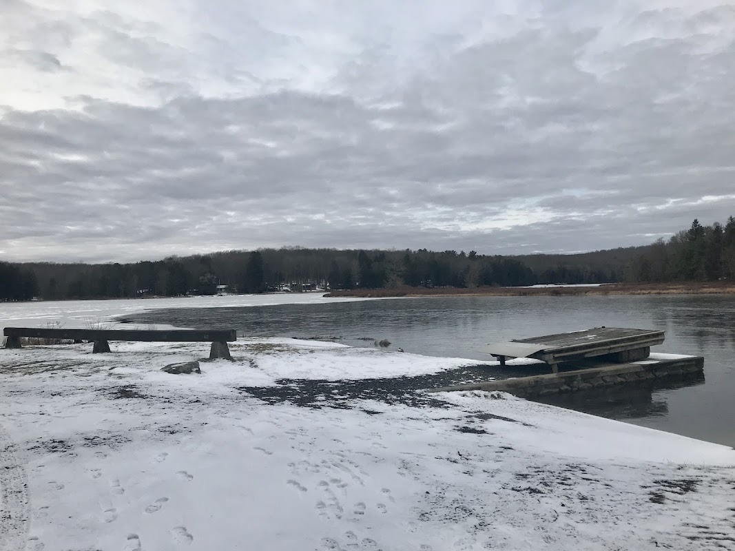
Main launch on Black Moshannon Lake — electric motors only. Seasonal kayak and canoe rental at the boat concession beside the launch (verify hours with the park office).
Boardwalk and gravel trail, about a quarter mile each way, through the plateau bog in Black Moshannon State Park, from Westside Road to a viewing platform. Pitcher plants, leatherleaf, cranberry and blueberry; the bog's tannins are what color the lake.
Wooden viewing platform at the far end of the Bog Trail boardwalk in Black Moshannon State Park, looking over the bog of leatherleaf, cranberry and blueberry. On the Allegheny Plateau at about 1,900 feet, the park colors at least a week ahead of State College.
Gravel pull-off on Underwood Road, a compacted-dirt state-forest road off PA 504 in Moshannon State Forest. Park here for Ralph's Majestic Vista (0.6 miles on foot) and Ralph's Pretty Good View (0.8 miles). Underwood Road is itself a scenic drive in October.