Fish · answer
Bald Eagle Creek fishing regulations, explained
Three rule sets on one creek, and where each one starts and stops.
AJ Brau · Updated Sep 3, 2026


A freestone creek that turns into a Class A river at Milesburg, the state’s only All-Tackle Keystone Select mile, and the fly-only canyon twenty minutes away.
Three rule sets on one creek, and where each one starts and stops.
Three access points, one regulation map, and the honest seasonal read on the upper creek.
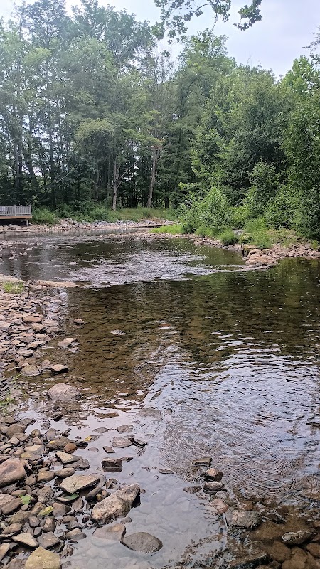
135-acre Wildlife for Everyone preserve (55 acres of wetland) with ADA fishing platform on Bald Eagle Creek. Parking lot here is the best access to the one-mile All-Tackle Keystone Select Trout section around Steele Hollow Run — lure, bait, or fly; Keystone Select harvest rules apply.
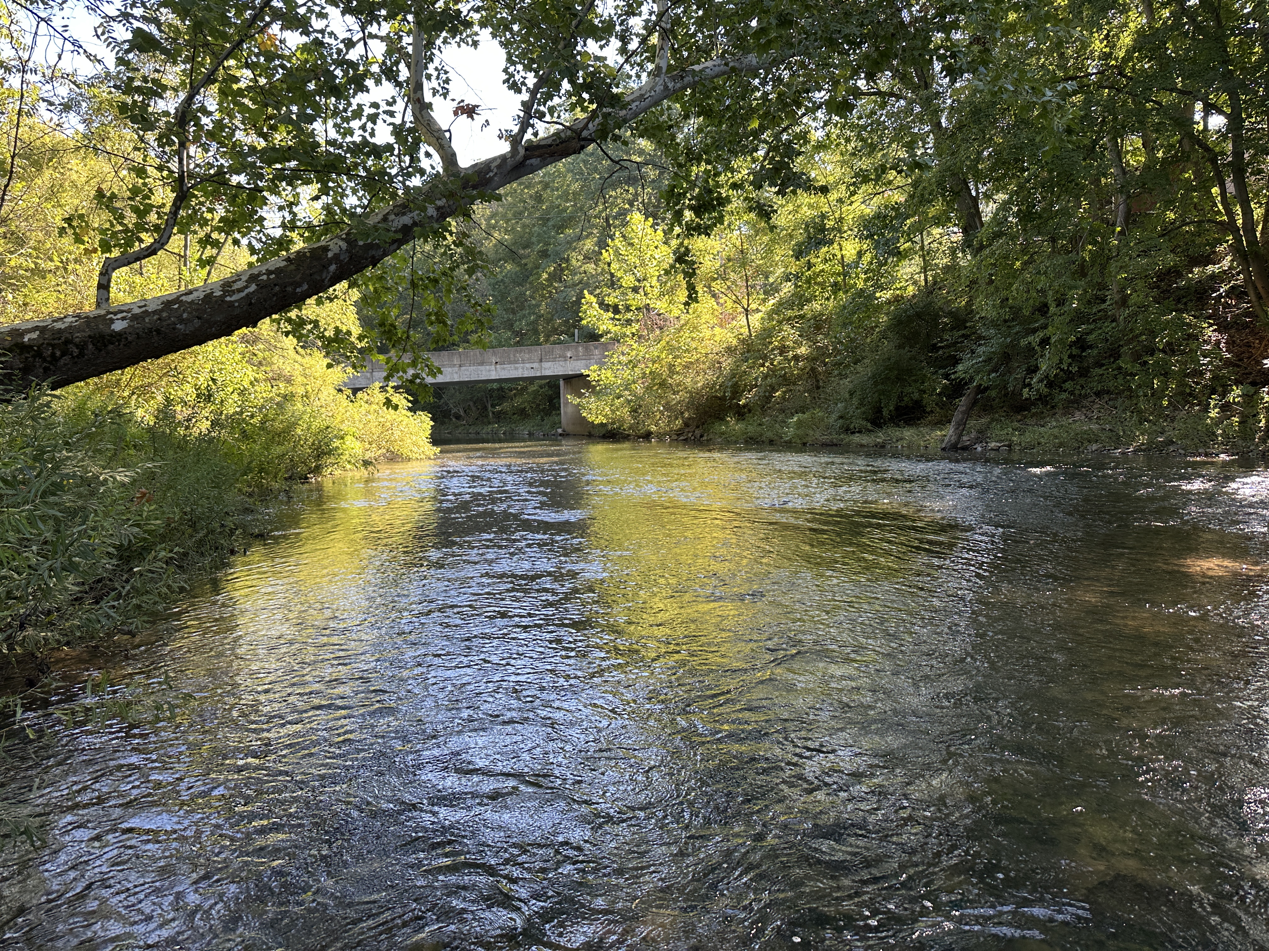
<p>Roadside access where Julian Pike crosses Bald Eagle Creek at the foot of Furnace Street in the village. Stocked Trout Waters under statewide regulations. Upper-creek freestone water — fishes best March–May and after fall rains; runs thin in summer. There is no designated lot: use the road shoulder without blocking the bridge, and respect posted land along the banks.</p>
The one-mile All-Tackle Keystone Select Trout section runs 0.38 mi above to 0.48 mi below the mouth of Steele Hollow Run — the only All-Tackle Keystone Select water in Pennsylvania. Lure, bait, or fly allowed; Keystone Select creel and size rules apply. Park at Soaring Eagle Wetland and walk the bank or the ADA path.
Accessible fishing platform on Bald Eagle Creek at the end of the wetland path, ~0.4 mi from the lot. Good tailout water directly below it. VERIFY: platform position from the Wildlife for Everyone site map.
PFBC All-Tackle Keystone Select Trout section: 0.38 mi upstream to 0.48 mi downstream of Steele Hollow Run. Lure, bait or fly; Keystone Select creel and size limits apply. The only All-Tackle Keystone Select water in Pennsylvania. VERIFY: corridor drawn as a 60 m band on an estimated creek line — redraw on the actual channel and confirm the Steele Hollow Run confluence against the PFBC designation map.
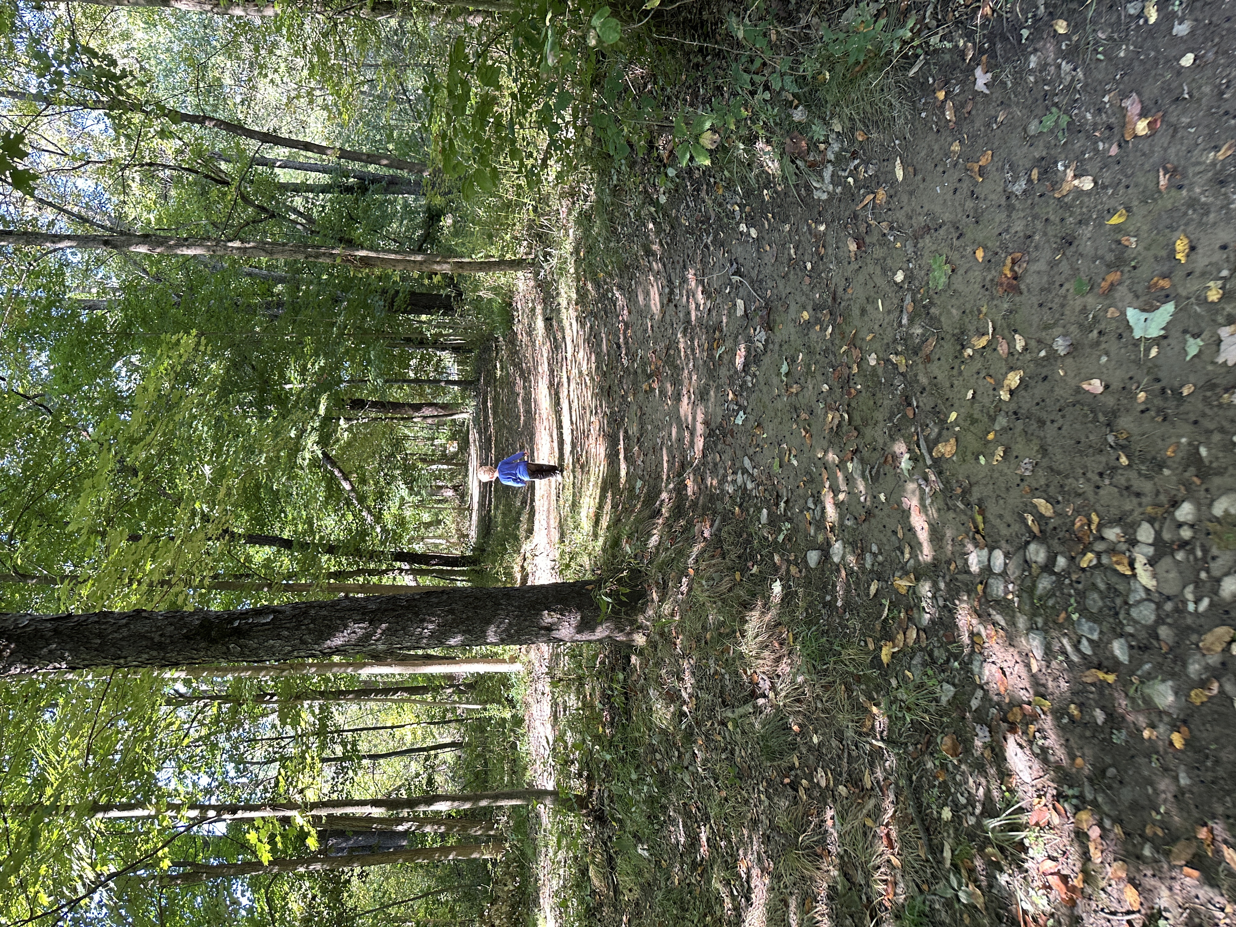
Double track trail that connects the bridge to the parking lot next to the Huston Township Community Center Parking Lot - no trailhead and the trail is unmarked
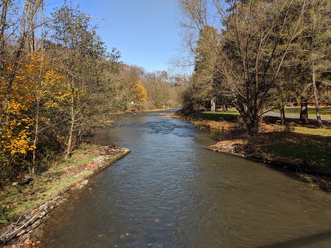
PFBC's legendary catch-and-release, fly-fishing-only stretch of Spring Creek in the canyon below Bellefonte. Wild browns; heritage-angling rules. 20 minutes from Julian.
Where Spring Creek joins Bald Eagle Creek. From here downstream through the Sayers Lake backwater is the 5.7-mile Class A Wild Trout section — stocked rainbows plus wild browns (no-kill on browns proposed). Roughly two-thirds of the flow below here is Spring Creek. VERIFY parking.
The downstream side of Foster Joseph Sayers Dam, where Bald Eagle Creek leaves the lake and the Class A section ends. The dam and the ground immediately below it are run by the Army Corps of Engineers, not the state park: obey posted signs, keep clear of the outlet works, and expect warm-water species rather than trout this close to the lake.
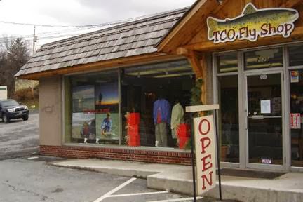
Full-service fly shop on the State College side of the mountain — licenses, flies, guides, and the current word on Spring Creek and Bald Eagle Creek. 25 minutes from Julian.
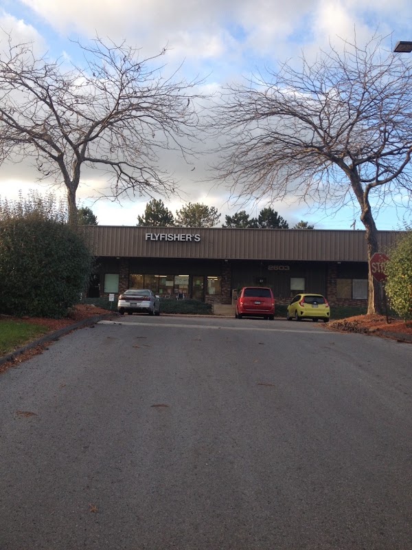
Long-running State College fly shop and guide service; the other place to buy a trout stamp and ask what is hatching.