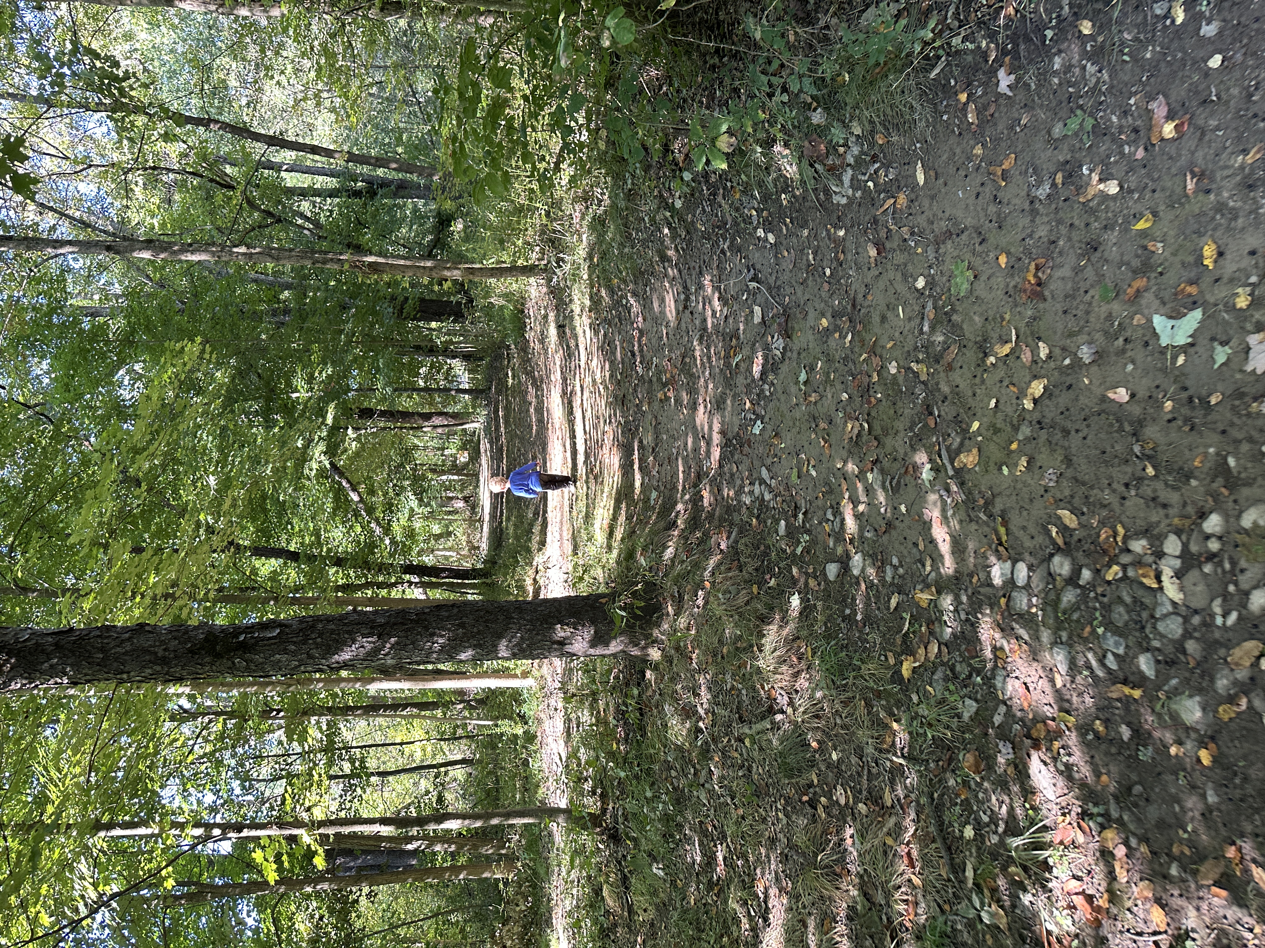
Julian Bridge Trail
0.2 mi
Double track trail that connects the bridge to the parking lot next to the Huston Township Community Center Parking Lot - no trailhead and the trail is unmarked


20 trails and 3 more ways through the valley, 111 miles in all, from a quarter-mile boardwalk to a five-day backpacking loop. Open any of them in Trail View to see it start to finish on the map, with mile markers, the elevation profile and every access point in order.
Double track trail that connects the bridge to the parking lot next to the Huston Township Community Center Parking Lot - no trailhead and the trail is unmarked
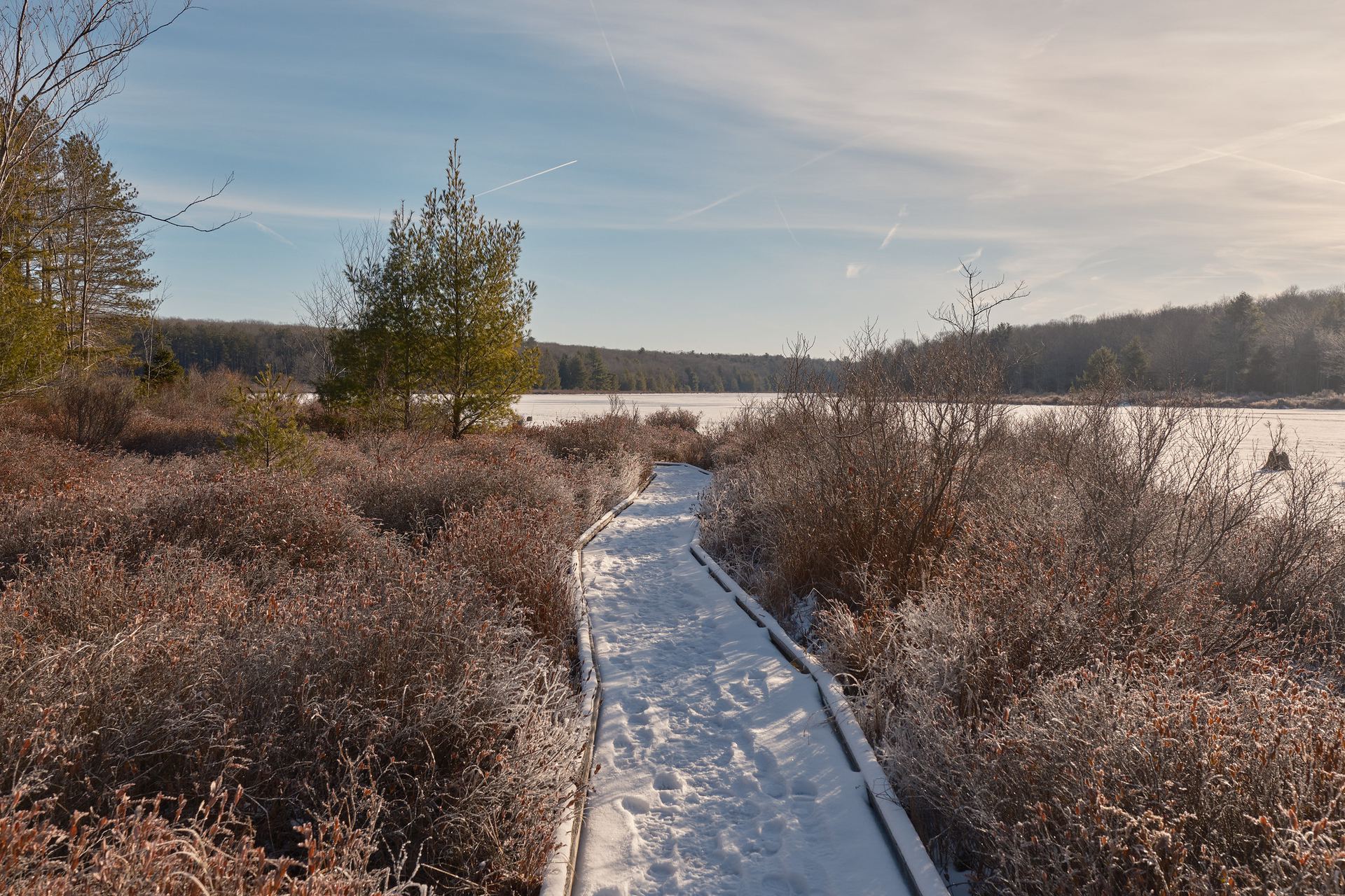
Boardwalk and gravel trail, about a quarter mile each way, through the plateau bog in Black Moshannon State Park, from Westside Road to a viewing platform.
This path ventures from the parking area near the dam and follows beautiful Black Moshannon Creek.
A trail on the Allegheny Front plateau between Black Moshannon State Park and Julian.
This trail connects to gravel roads and trails open to snowmobiles, horses, and mountain bikes on surrounding state forest land.
This flat loop connects two bridges for an easy walk along the lake's northern shoreline.
This trail leads travelers through changing scenery of open oak woods, pines, clearings, and an unusual grove of hawthorns.
This trail weaves through a typical second growth forest of oak and cherry, which shades stumps of pine that were logged out over a century ago.
Once used by farmers who harvested marsh grasses, this grassy, old road eases through a mature, mixed oak forest with a black cherry understory.
Explore a hemlock-birch forest and woodlands of cherry and oak.
A trail on the Allegheny Front plateau between Black Moshannon State Park and Julian.
A trail on the Allegheny Front plateau between Black Moshannon State Park and Julian.
With fine views of the lake and opportunities to see wildlife, this trail travels through pines, a climax forest of beech and hemlock, and an uncommon stand…
A trail on the Allegheny Front plateau between Black Moshannon State Park and Julian.
On its way through the Black Moshannon Bog Natural Area, this trail travels through pine plantations, hemlock bottomlands, wetland edges, hardwood forests,…
The Allegheny Front Trail (AFT) is a roughly 41.5-mile loop around Black Moshannon State Park through Moshannon State Forest, made for a multi-day backpacking…
A trail on the Allegheny Front plateau between Black Moshannon State Park and Julian.
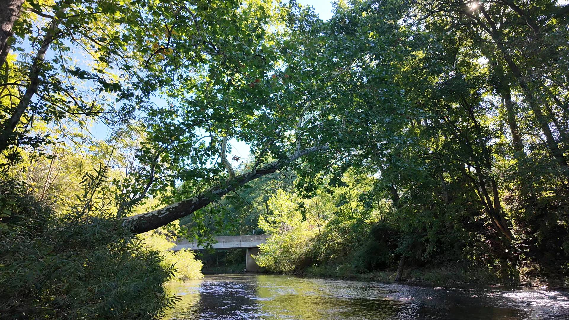
Bald Eagle Creek from its headwaters above Port Matilda through Julian and Milesburg to the inlet of Sayers Lake.
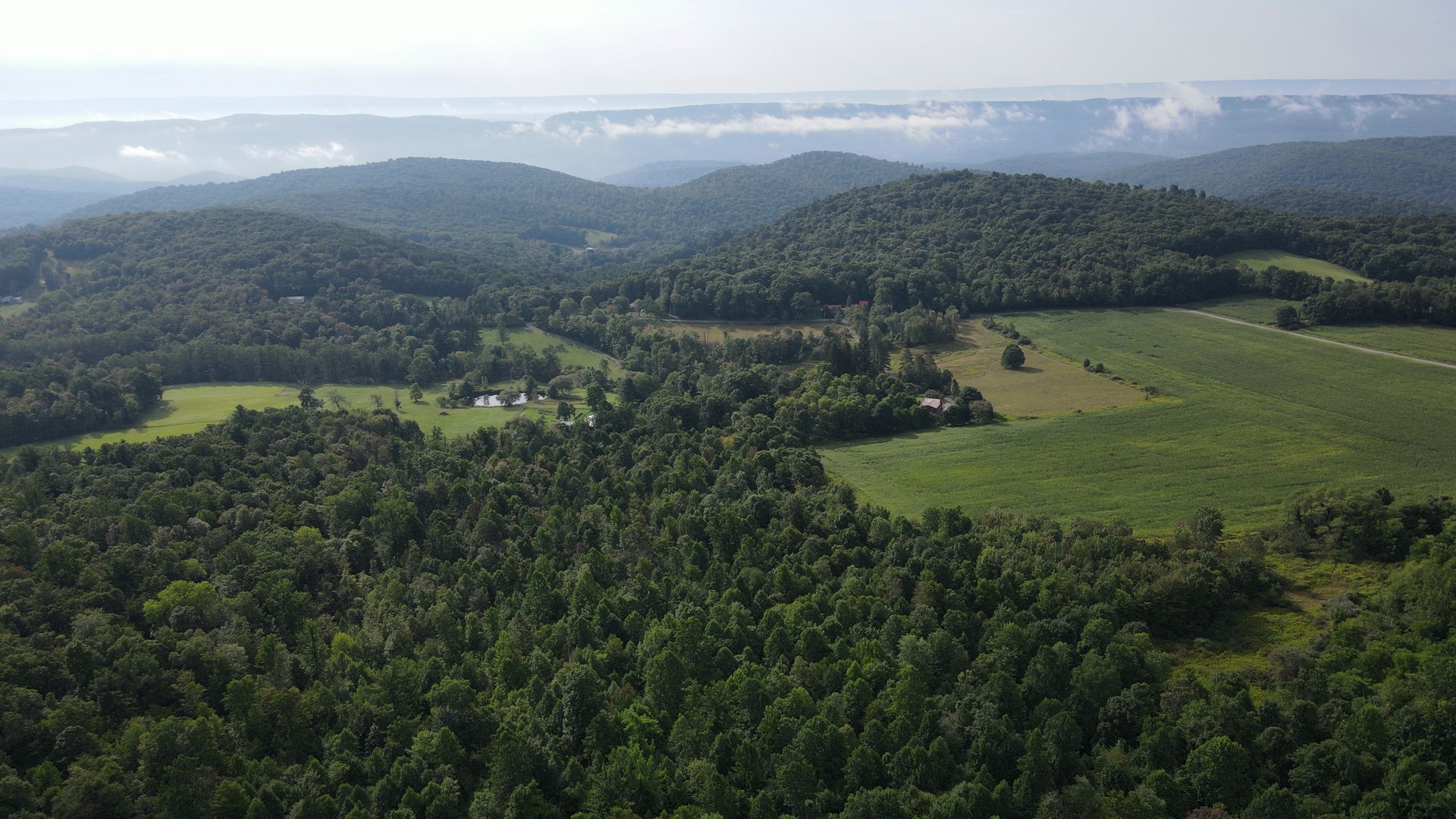
About 12 miles and 20 minutes on PA 504, the old Rattlesnake Pike, climbing from Unionville on the Bald Eagle Valley floor up the Allegheny Front through…
Black Moshannon State Park and Allegheny Front Trail data: Pennsylvania DCNR. Plateau trails between the park and Julian (North Run, Ridge, Rattlesnake, Dry Hollow, POA, Beaver Meadow): © OpenStreetMap contributors, under the Open Database License. Check current conditions before you go.