

Trail ViewSee the whole trail on the map, start to end: mile markers, the elevation profile, and every access point and stop in order.
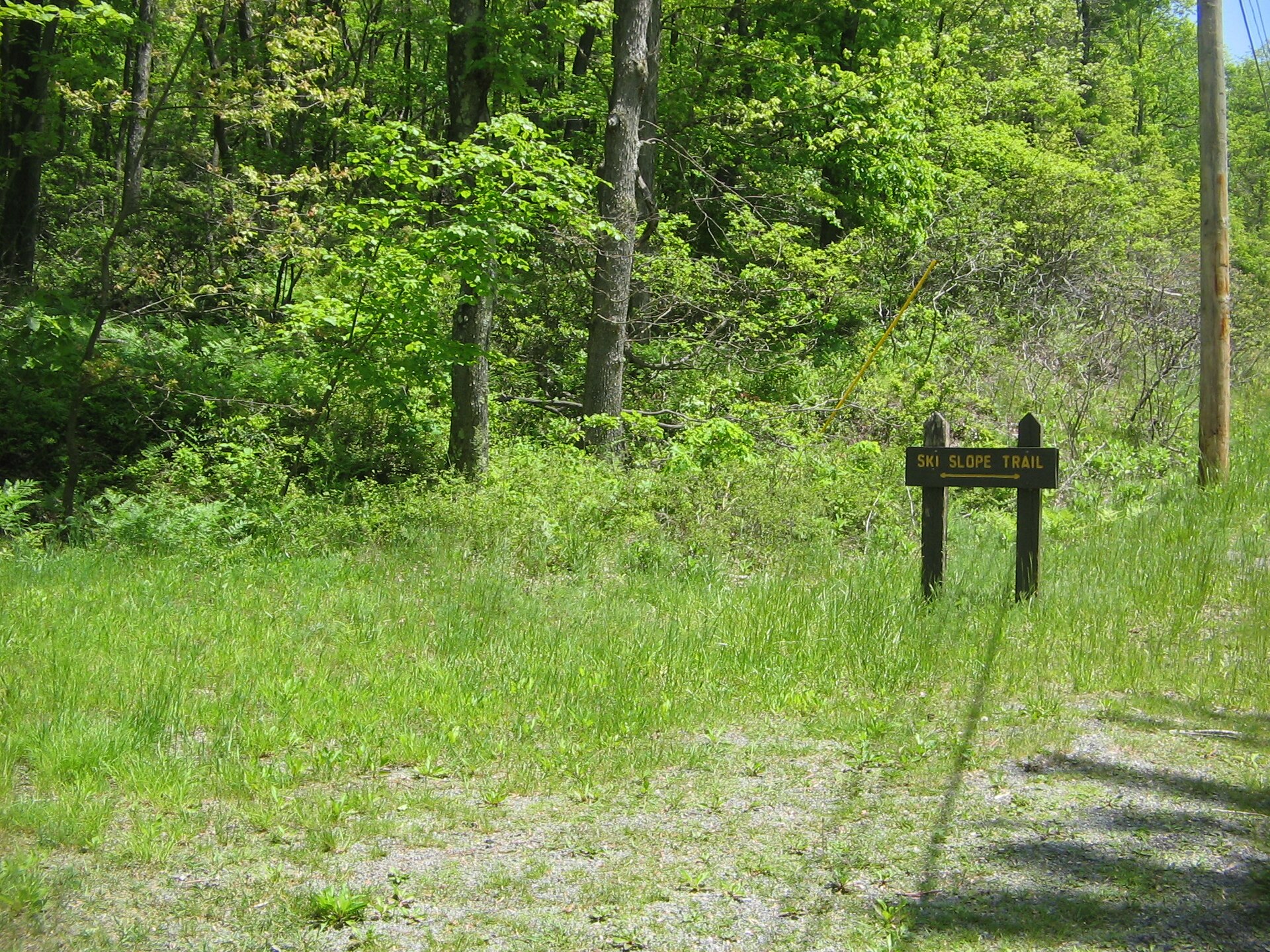
Begin at the beach parking lot for a trek up the mountain. Enjoy the views from the highest point in the park, including an old ski slope. At the PA 504 crossing, try to decipher the old Philadelphia-Erie Turnpike mile marker.
2.2 miles · Most Difficult · Black Moshannon State Park. Trail data: PA DCNR.
Photo: Ruhrfisch, CC BY-SA 3.0, via Wikimedia Commons.