A wetland stop, a picnic break, and an optional Black Moshannon walk—with room to shorten the day.
AJ Brau · Julian resident · Bald Eagle Valley anglerUpdated October 3, 20263 minJulian, Pennsylvania
For an unhurried day around Julian, Pennsylvania, begin at Soaring Eagle Wetland, pause for a packed lunch, and add Black Moshannon’s Bog Trail if the weather, daylight, and your group’s energy allow. The second stop is optional. Choose the day’s pace before filling the map.
The shape of the day
Part of the day
Plan
Shorten it by
First outing
Soaring Eagle Wetland and its creek-side platform
Making this the only outdoor destination
Middle of the day
A packed lunch at a suitable designated picnic area
Eating before traveling to a second destination
Optional second outing
Black Moshannon’s Bog Trail
Skipping the second park entirely
Finish
Return with daylight and energy to spare
Choosing a meal near your onward route
These are suggestions for pacing, not measured travel or walking times. The itinerary is designed for a group that would rather pause than cover distance. It is not a promise of empty trails: the quiet comes from leaving space in the plan.
First: make Soaring Eagle Wetland a real stop
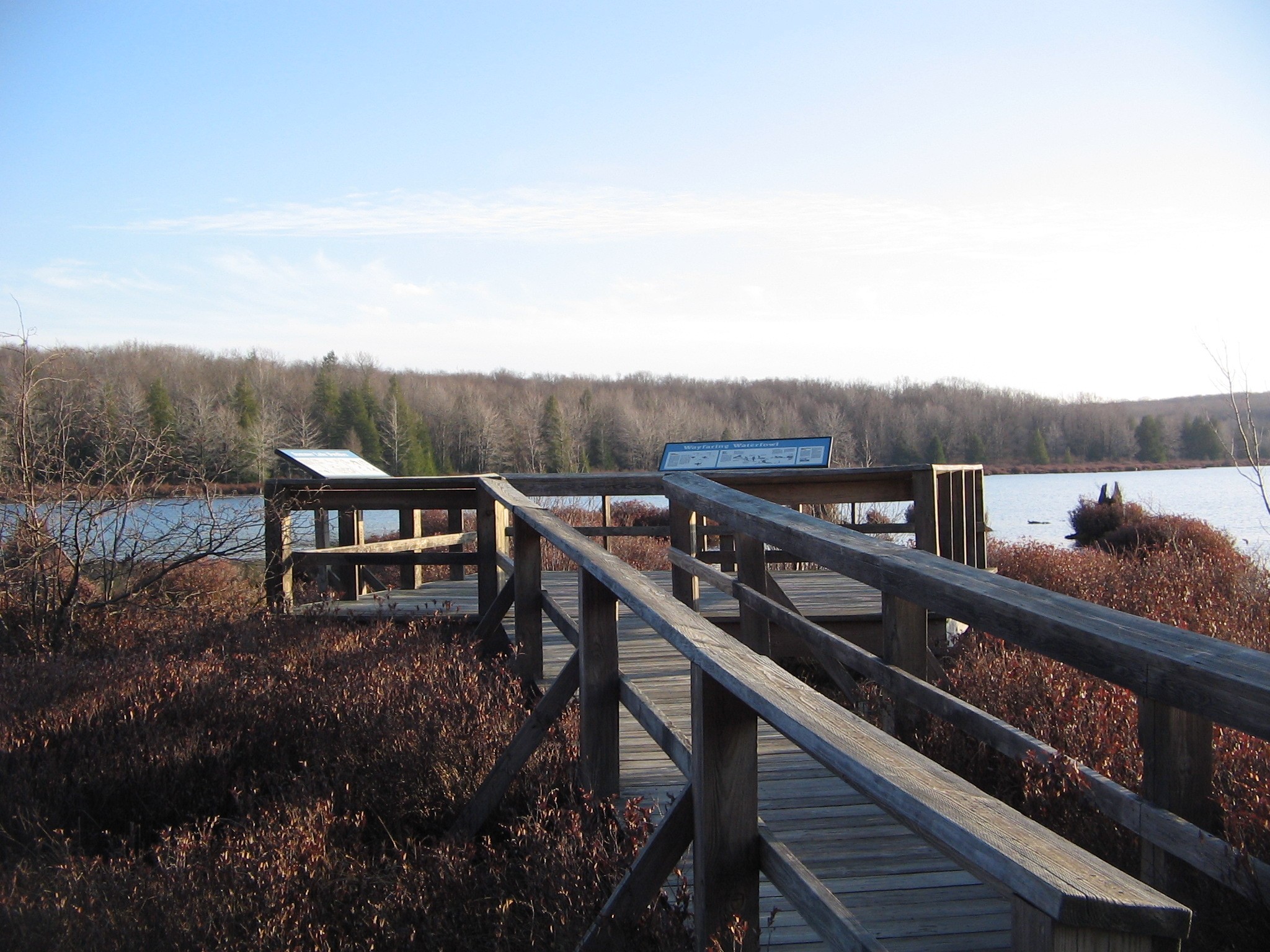
Begin at Soaring Eagle Wetland. Wildlife for Everyone identifies an accessible trail, fishing platform, and wildlife-viewing facilities here. Use the designated parking, then follow the marked path for the visit that fits your group. Leave the arrival and the walk as separate decisions so nobody feels committed to a longer outing.
Towns & Services · Arrival: use the designated parking.
Designated parking for Soaring Eagle Wetland at 6543 South Eagle Valley Road. Use this arrival point, then follow the site’s marked path toward the fishing and viewing platform. Check the site manager’s current visitor information and on-site signs for access and conditions. Visitor information: https://www.wildlifeforeveryone.org/visit-the-wetlands
Fishing & Creek Access · Fishing and wildlife viewing; follow the marked path.
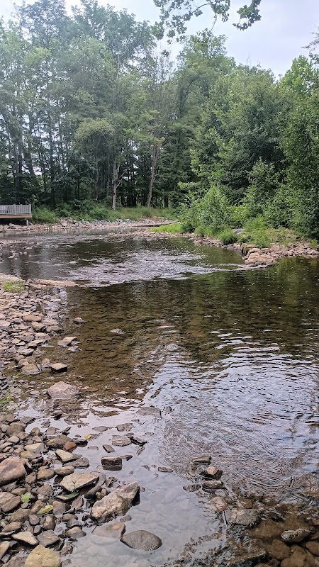
Accessible fishing and viewing platform at Soaring Eagle Wetland beside Bald Eagle Creek. Reach it from the designated wetland parking using the marked path. Check current site conditions with Wildlife for Everyone and confirm Pennsylvania Fish and Boat Commission rules for the exact water before fishing. Visitor information: https://www.wildlifeforeveryone.org/visit-the-wetlands
ADA AccessibleOutdoor Recreation
Bring binoculars if you enjoy watching birds, or simply spend time at a viewing point. A stop can be worthwhile without checking off a species or catching a fish. If you want to fish, use the current state regulations and the signed rules for the exact section before doing so.
Then: take the lunch break seriously
Pack lunch, snacks, and water before leaving your starting point. Choose a suitable designated picnic area rather than assuming every stop has food service. Take this break before deciding whether to continue. If the first outing was enough, end the outdoor portion of the day here.
Optional: add the Bog Trail at Black Moshannon
If everyone wants another outing, continue to Black Moshannon State Park. Use the park’s official map to reach Boating Area 3 for the Bog Trail boardwalk. The viewing-platform pin on this page is a destination reference, not a parking instruction.
Parks & Outdoors · Destination reference, not the parking entrance.
Viewing platform on the Bog Trail boardwalk at Black Moshannon State Park. This pin marks the destination, not a parking entrance. DCNR identifies Boating Area 3 as the approach for the accessible boardwalk; use the official park map and trail description when planning your arrival. Trail information: https://www.pa.gov/agencies/dcnr/recreation/where-to-go/state-parks/find-a-park/black-moshannon-state-park/hiking
Treat this as a fresh stop with its own arrival and return, not an extension of the wetland walk. Look at the forecast and remaining daylight before starting. Download the official park map in advance; Black Moshannon notes that cell coverage can be unpredictable.
For a half-day version, keep Soaring Eagle and lunch. For a park-centered version, start at Black Moshannon and leave out the wetland stop. Both preserve the point of the itinerary: enough time to enjoy the place you chose. Neither version needs an extra attraction added just to fill the afternoon.
Fishing & Creek Access · First outing; use designated wetland parking.
Wildlife for Everyone’s Soaring Eagle Wetland near Julian offers an accessible trail, fishing and viewing platform, and wildlife-viewing opportunities. Begin at the designated parking on South Eagle Valley Road. Check current visitor information and fishing rules for the exact stream section; the wetland marker does not establish public access along the entire creek. Visitor information: https://www.wildlifeforeveryone.org/visit-the-wetlands
Parks & Outdoors · Optional second destination; check the Bog Trail arrival area.
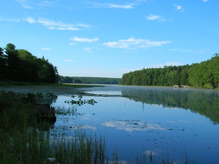
Black Moshannon State Park offers a bog boardwalk, a tea-colored lake, trails, and a setting for an unhurried park visit west of Julian. Choose your activity and arrival area using DCNR’s official park map. For the Bog Trail boardwalk, use Boating Area 3. Download the map in advance because cell coverage can be unpredictable. Visitor information: https://www.pa.gov/agencies/dcnr/recreation/where-to-go/state-parks/find-a-park/black-moshannon-state-park
Outdoor RecreationState Park
The saved places are destination anchors. Check live directions between them and use each site’s official information for entrances, facilities, and current conditions. The companion map animation shows their relationship on the map; it does not supply turn-by-turn road navigation.
Is this an accessible itinerary?
Both stops around Julian, Pennsylvania have specifically described accessible features, but that does not establish that the full trip meets every visitor’s needs. Check parking, surfaces, restrooms, and current conditions with each site for the facilities you intend to use.
What if it rains?
Check site notices and the forecast before leaving. Shorten or postpone the outdoor plan if conditions do not suit your group; this guide does not designate an unverified indoor replacement.